Geography & Maps
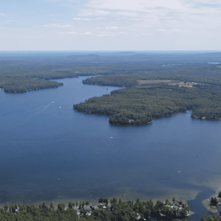
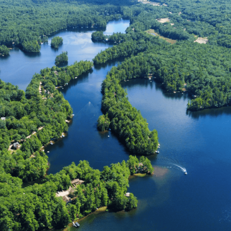
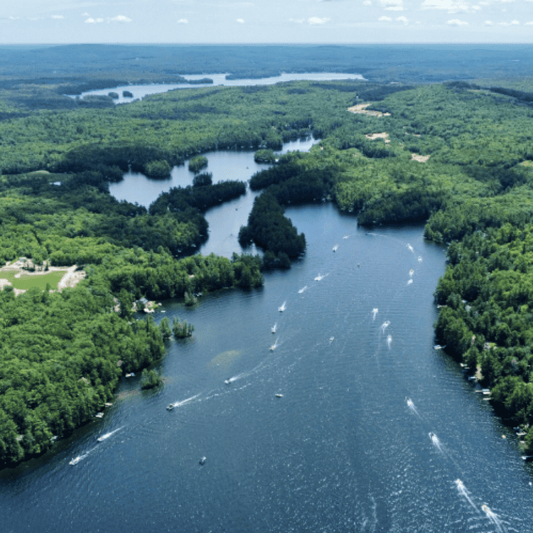
Great East Lake straddles the Maine and New Hampshire border and covers 1706 acres of Acton, ME and Wakefield, NH. It is the farthest upstream of the lakes which make up the headwaters of the Salmon Fall River (a tributary of the Piscataqua River) and outflows via the Newichawannock Canal.
The maximum lake depth is 102 feet and the maximum lengths and widths are 5.1 miles and 1.1 miles, respectively. The widest point is on the NH side of the lake and the Maine side contains “The Narrows” and further east, the 1st, 2nd and 3rd Basins.
The Newichawannock Canal, built around the time of the Civil War, runs about 800 feet from Great East to Horn Pond. Its entire length makes up part of the ME/NH border. The Canal was originally built in order to increase hydro-power for the Great Falls Manufacturing Company in Somersworth, NH. It is listed on the National Register of Historic Places.

Downloadable Maps


GELIA Membership
Help Preserve Great East Lake for Years to Come

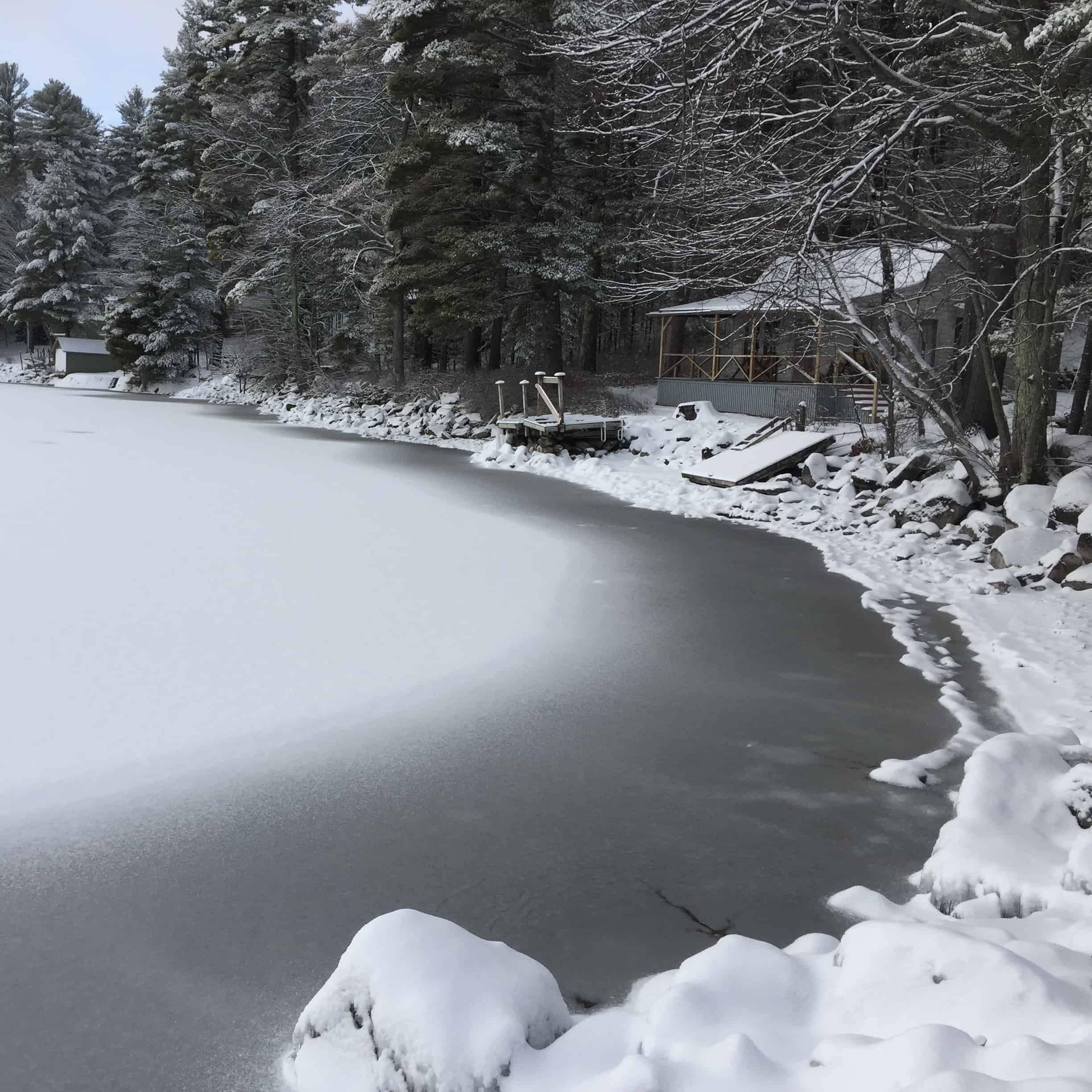
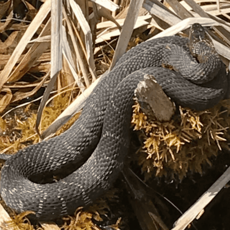
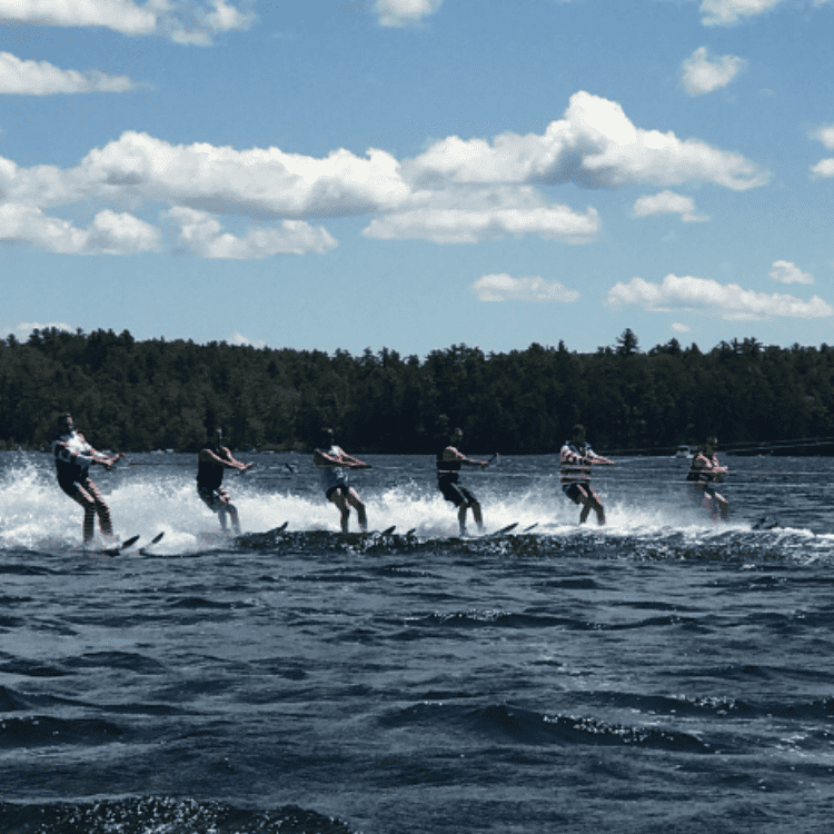
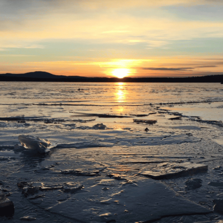
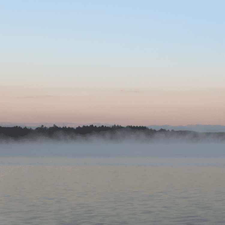
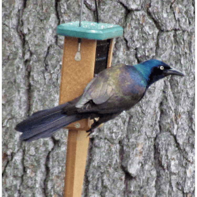
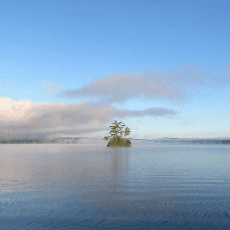
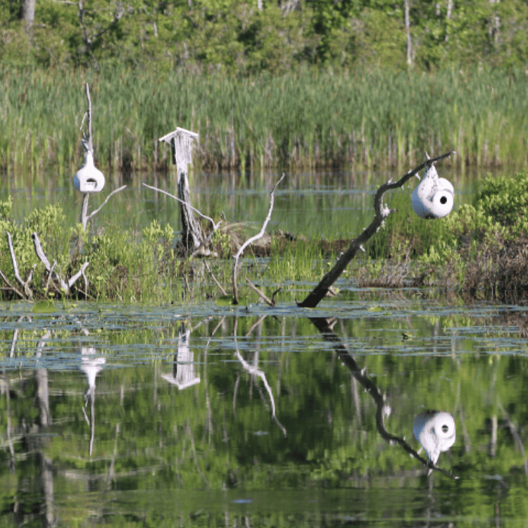
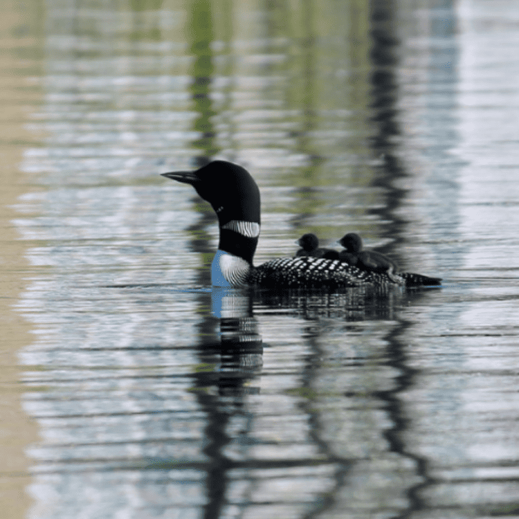
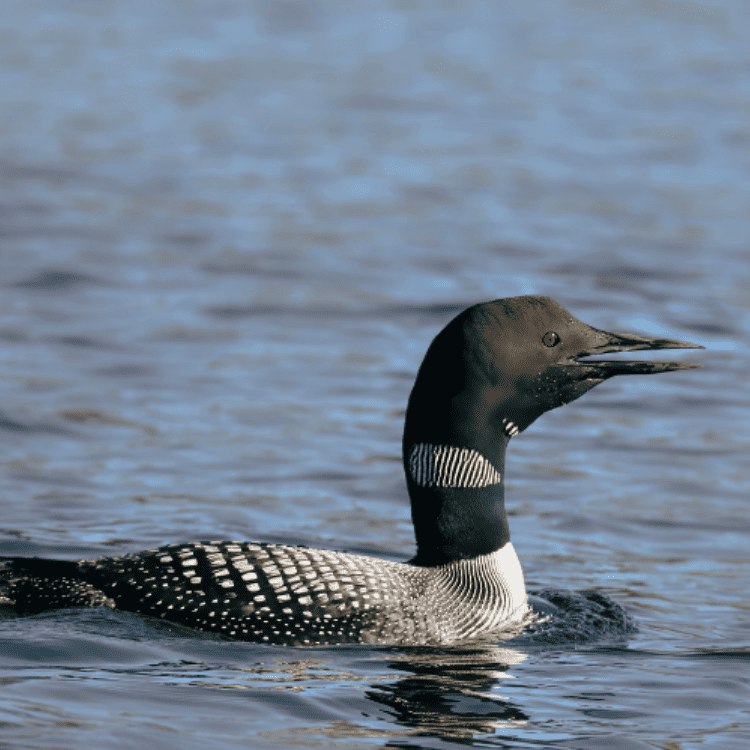
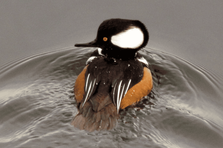
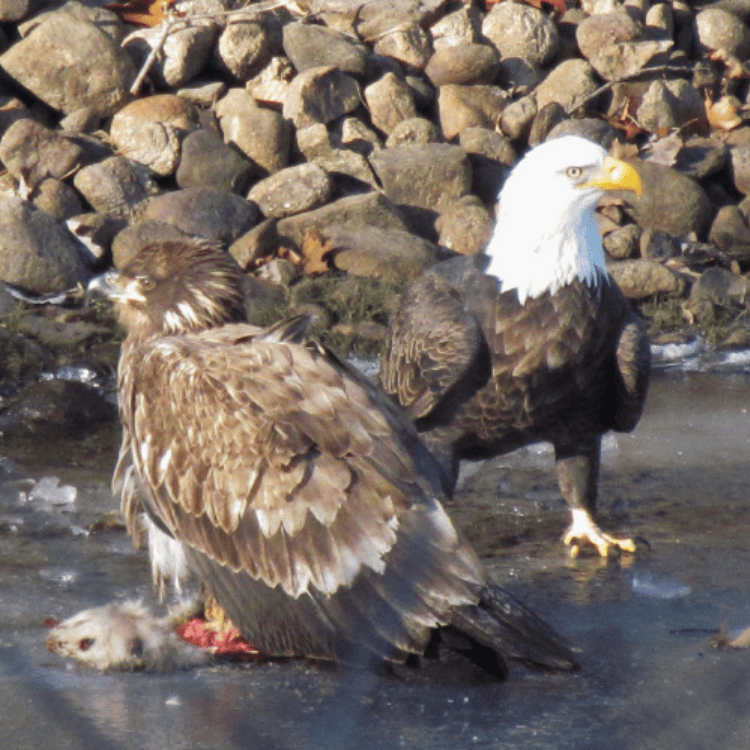
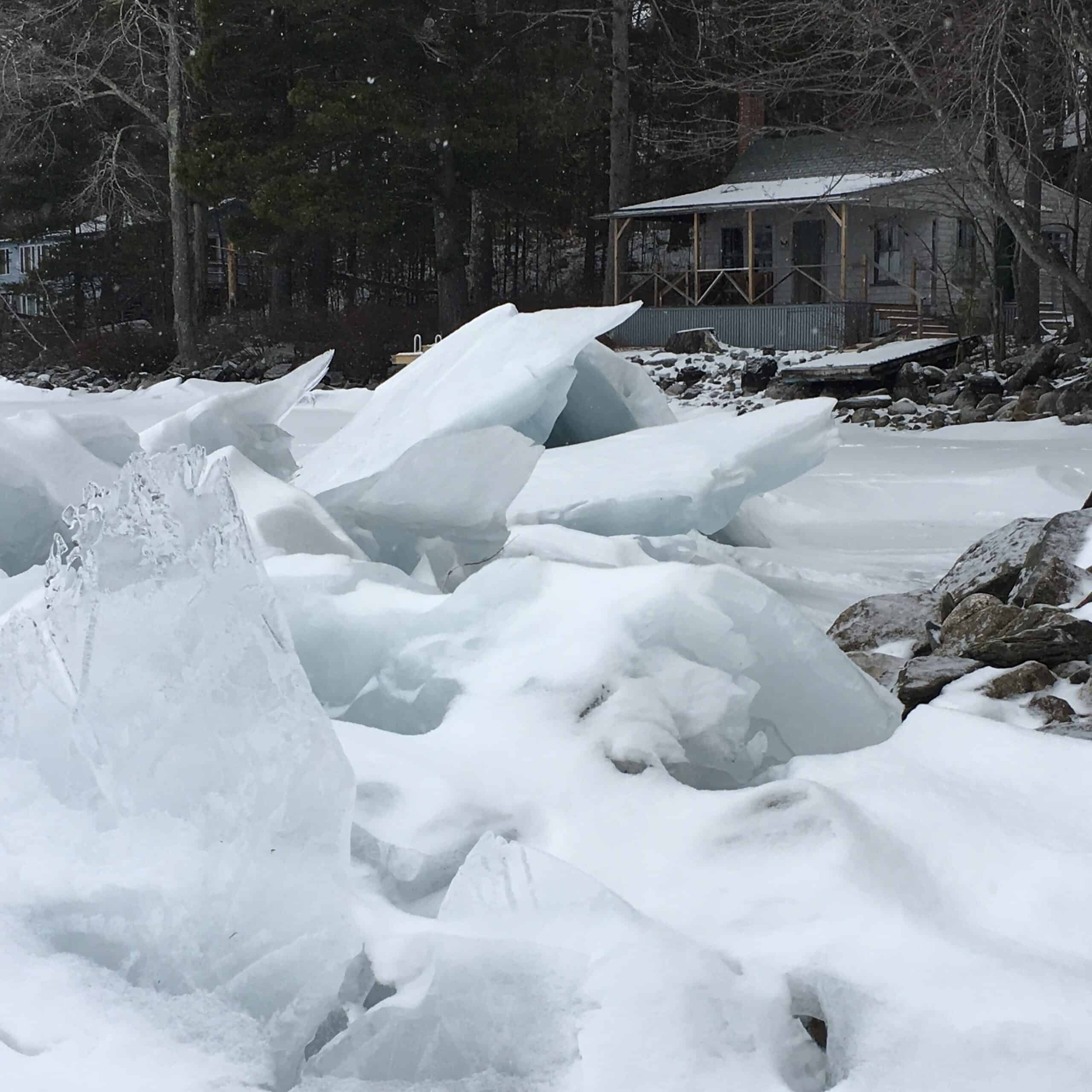
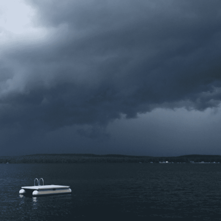
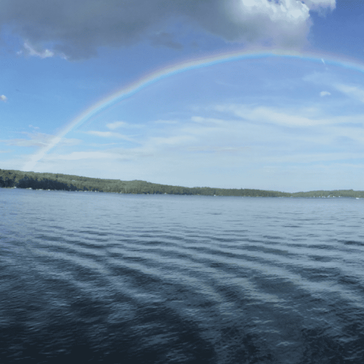
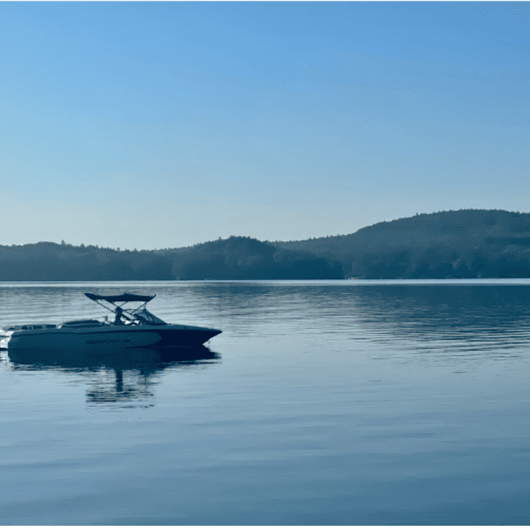
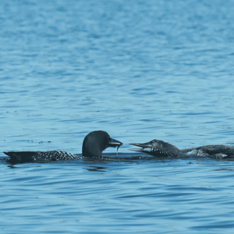
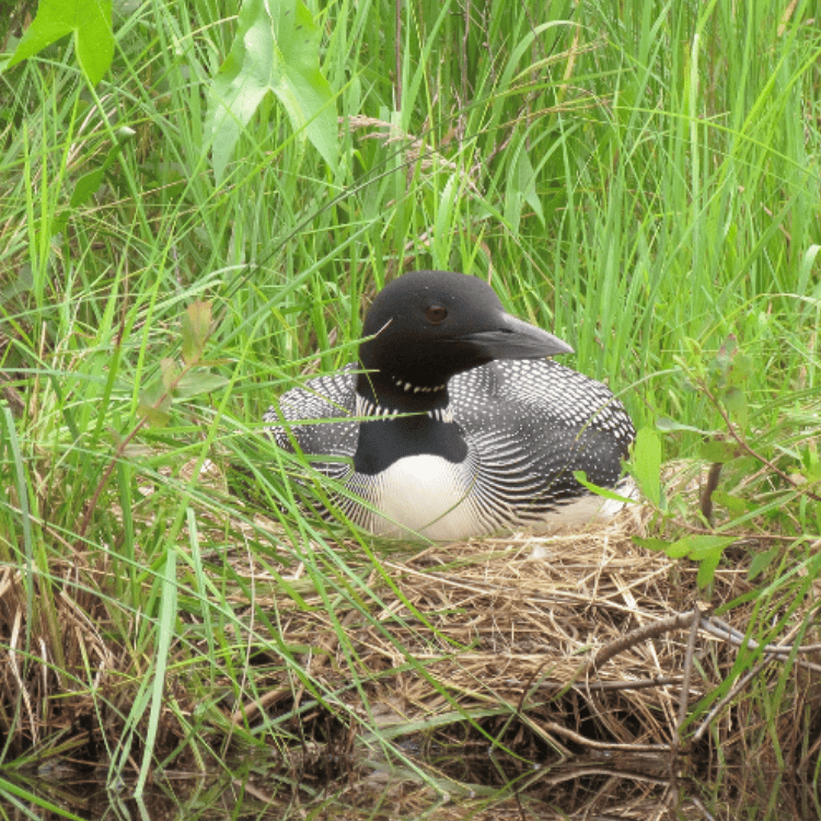
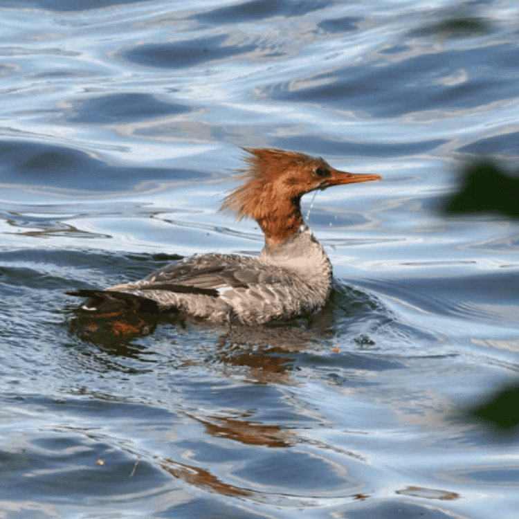
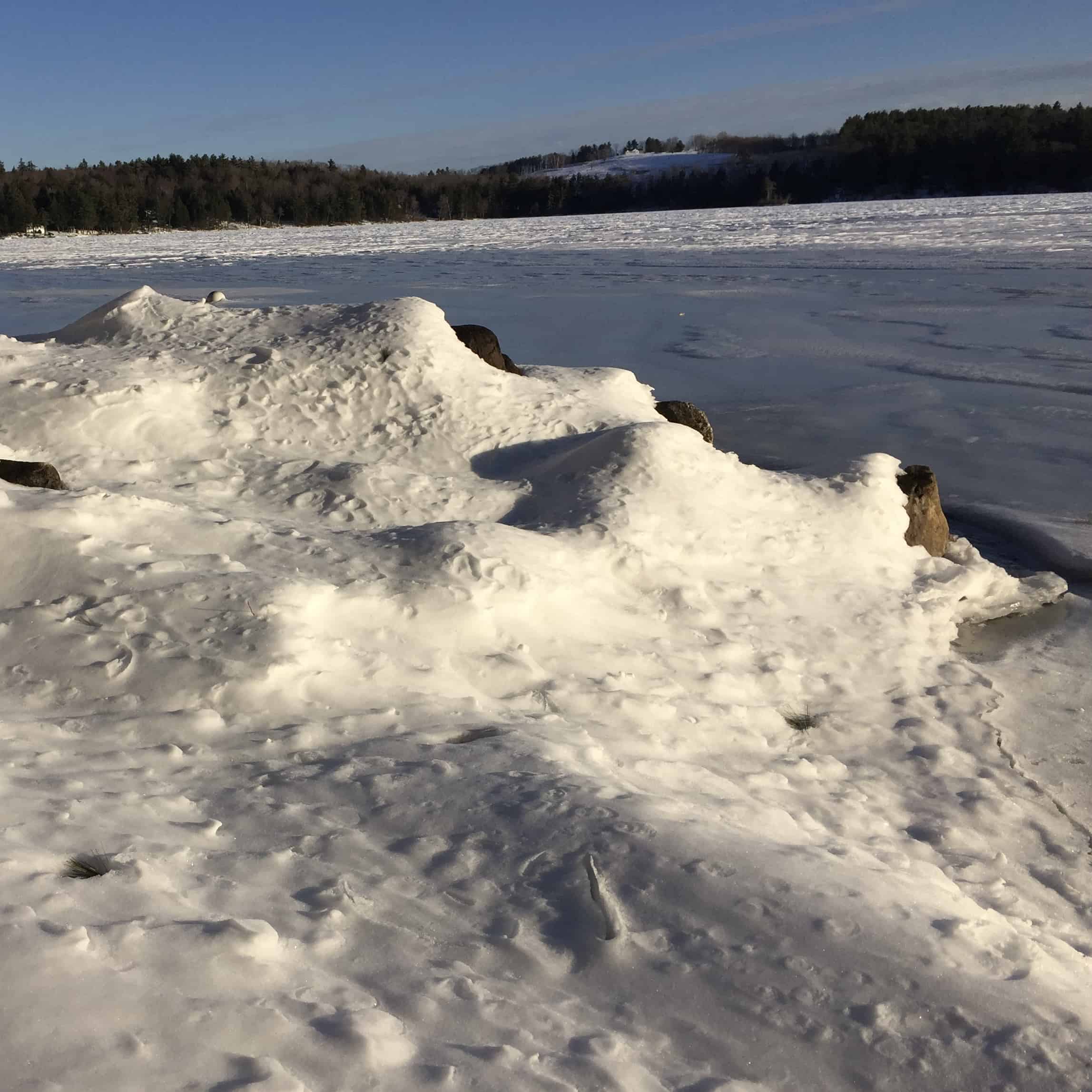
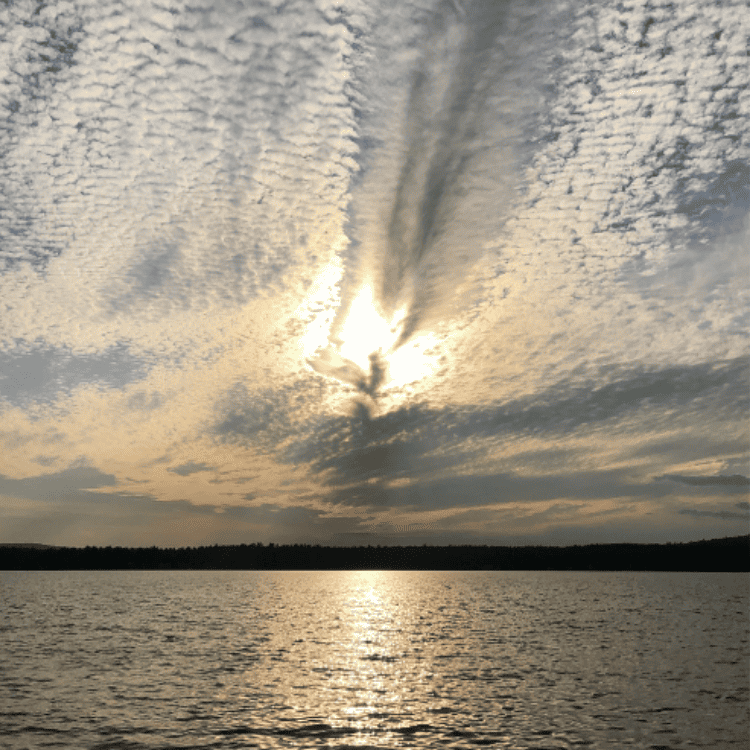
Our Favorite Photos of Great East Lake


13
49


IMG_1520


IMG_4293

IMG_1285


IMG_9002

IMG_0878

2

IMG_8766